
It’s important to understand the surrounding area of the site and how different environmental factors can influence the design. The site is part of a university campus and is therefore busy constantly throughout the day so it’s crucial to think about how the design would be used by a large variety of people and to cater to that.
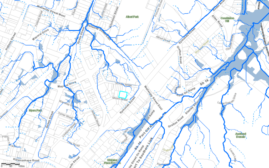
The below map looks at the situation of the site (9 Mount Street) in relation to the underground streams and rivers in Auckland CBD. This influenced my design in the design of the lower level. The idea of digging down into the ground to connect to these covered over streams is something that appealed to me in creating a meaningful space.
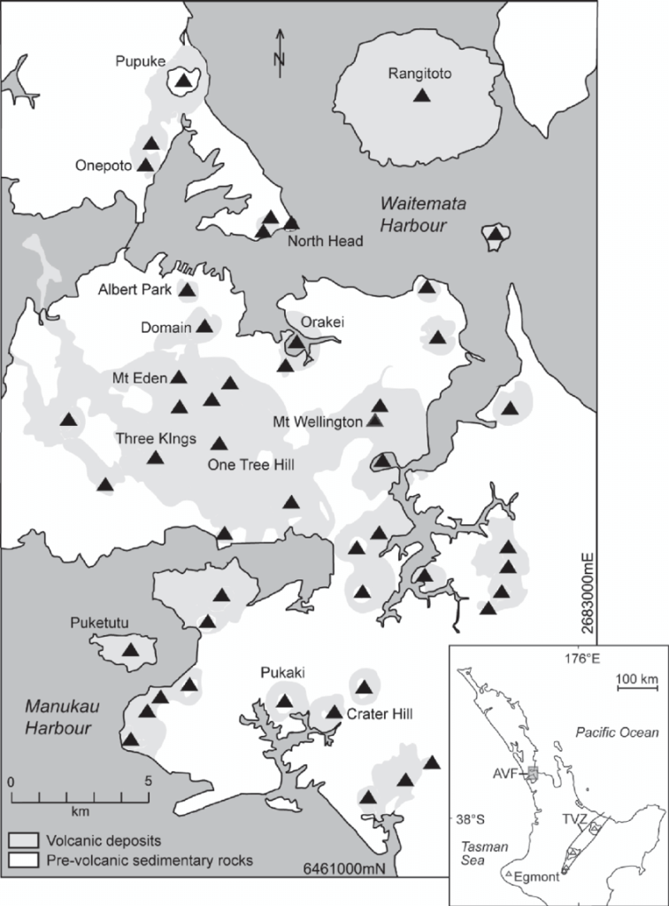
The map below shows Aucklands volcanic region. This is very relevant to the site as it situated in a landscape largely shaped by its volcanic activity and is in close proximity to Albert Park. The contours of the land that the site is on are evidence of this and the original structure has volcanic scoria stone on several walls. I plan to re-use this stone as a nod to Auckland volcanic landscape and to also reduce wastage.

Leave a comment