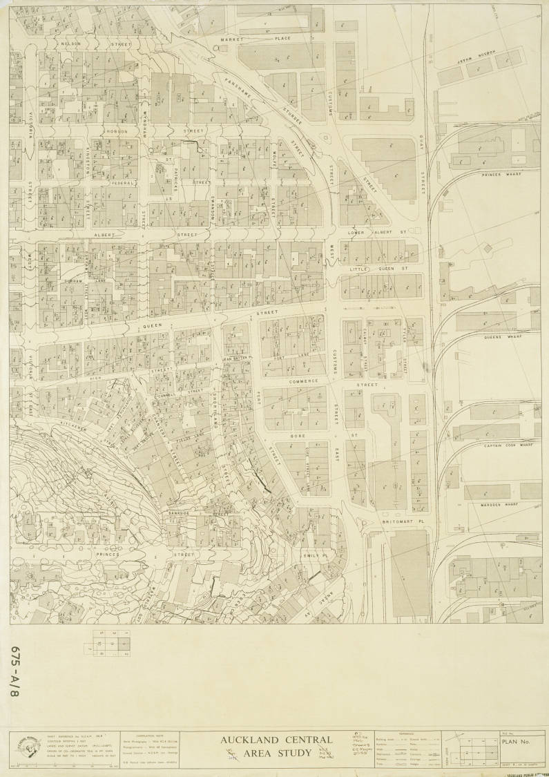
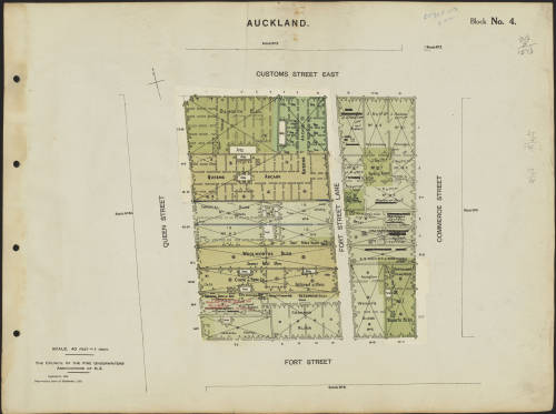
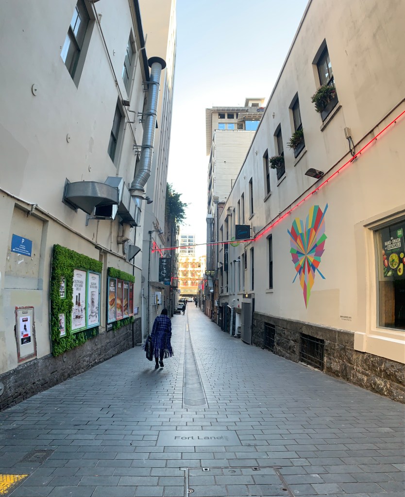
Fort Lane is a shared service lane running parallel to Queen Street connecting to Fort Street at the southern end and Customs Street East to the north. It is a piece of reclaimed land filled in with stone from Point Britomart. Due to the reclaimed land sinking over time Fort Lane dips in the middle between the sea wall (Customs Street) and the reinforced sea shore (Fort Street). Fort Lane is connected to Queen Street through Imperial Lane and to Commerce Street through Snickel Lane.
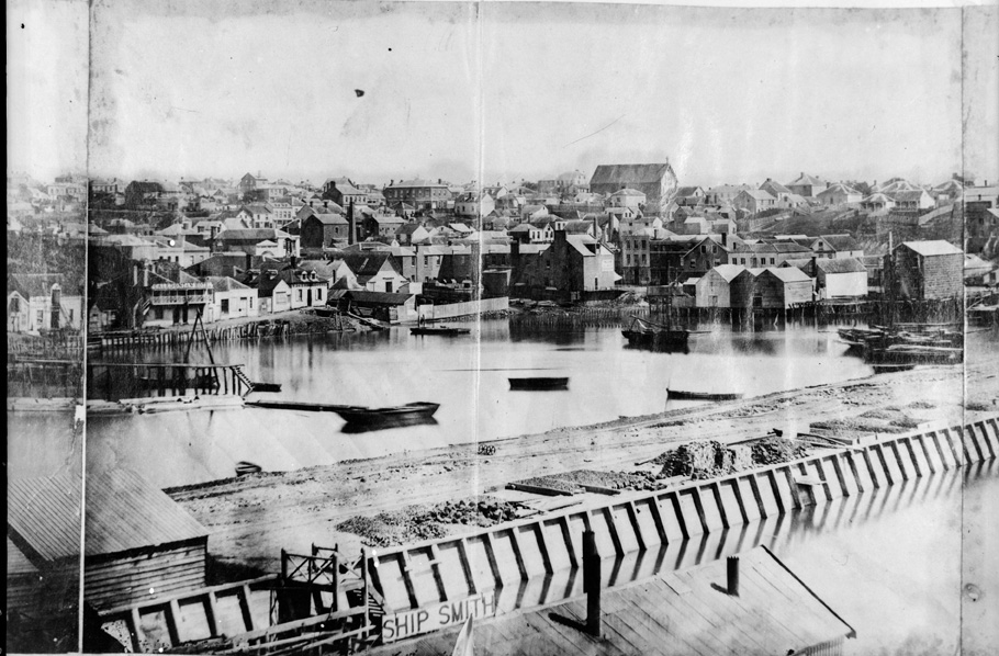
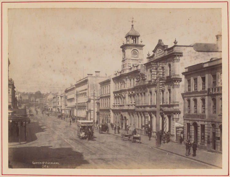
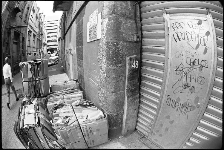
Fort Lane has always functioned as a service lane to Queen Street, allowing the back end activities to remain unseen on the main street. Due to the dip in the lane, surface water would often collect creating a flooded space in the middle of the lane resulting in a dirty and wet space. In 1911 it was called “the worst street in Auckland”.
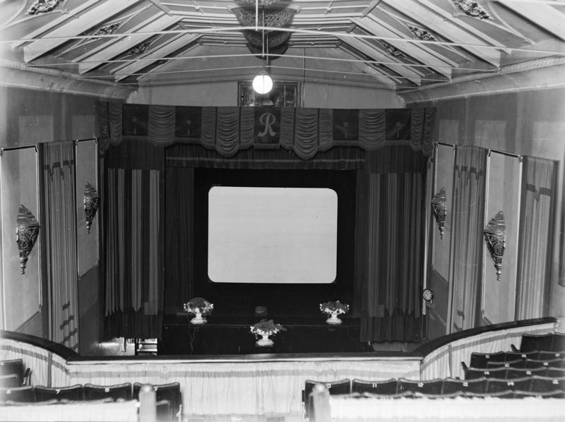
The Queens Theatre (renamed to the Roxy Theatre in 1927) and Everybody’s Theatre buildings were an important part of the early days of Auckland, said to be the entertainment hub of the city. Cinema itself was a big deal in the city with 1 cinema seat for every 6 residents and the buildings still stand today although they have been repurposed over time as the surrounding environments constantly shift and evolve.
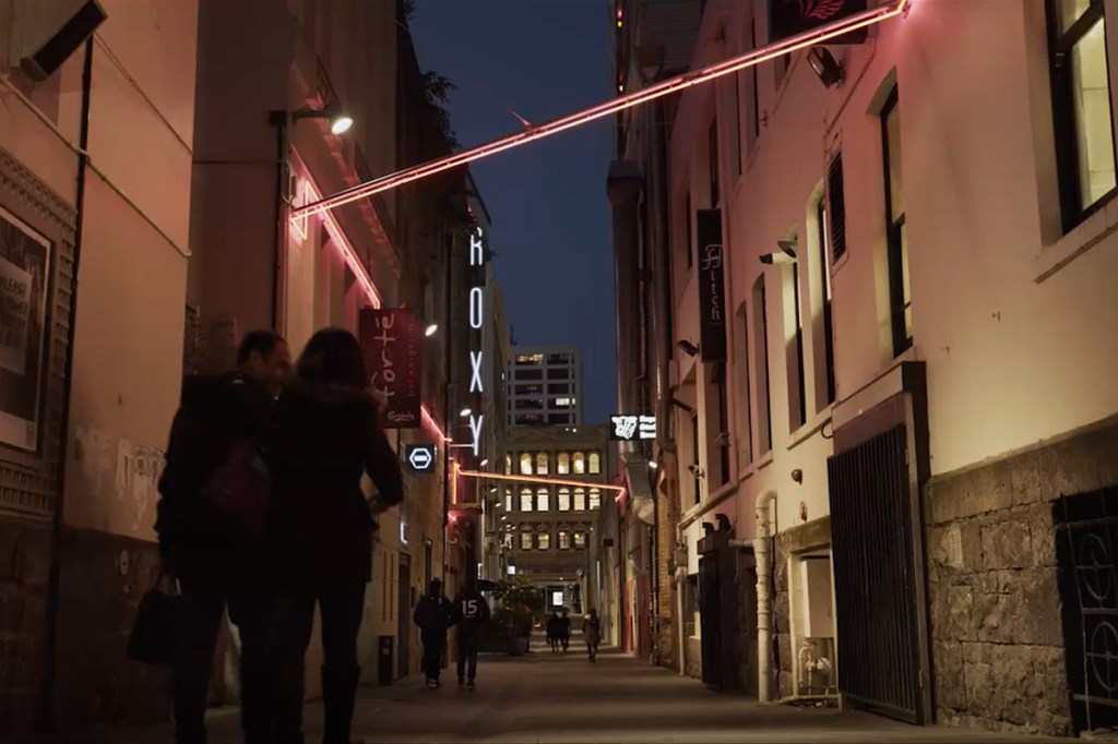
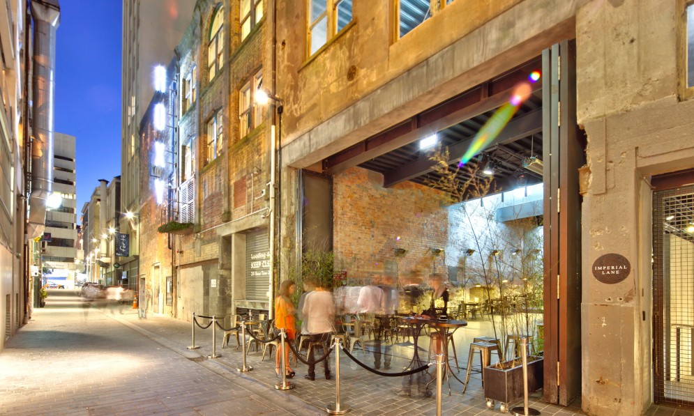
In the Early 2000’s Fort Lane was known as place for crime, strip clubs, brothels and backpackers. In 2010 Auckland city council worked on upgrading Fort St, Fort Lane and Jean Batten Place to create a more pedestrian friendly shared space that would be an important connecting space to the waterfront. Fearon Hay Architects renovated the previously privately owned Imperial Building into a series of public and office spaces, comprised of new bars, cafes and shops. Fort Lane, as it exists now, is a space that transforms from day to night as cafes and traffic give way to a series of vibrant bars and nightclubs. Neon lighting illuminates the current laneway and although the space has been upgraded and modernised it still has a slightly seedy feeling to it, at least in my opinion.
I personally have a huge interest in heritage buildings and pretty much anything from the past. The images below are a collection of historic images of Fort Lane and the surrounding areas of relevance, grouped and in chronological order where possible. I like to look at the changes visible in the city over time and to see what aspects have remained. I would like to try and incorporate this reflection on the history of the site into my work.
Point Britomart
Point Britomart was previously the site of at least one Māori pā and was an important site that was battled over several times during the 17th and 18th centuries. Its original name was Te Rerenga Ora Iti (The leap of the few survivors) and this name commemorated an incident in which Ngāti Whātua drove Ngāti Huarere over the cliff to freedom or death.
After the Treaty of Waitangi was signed, Point Britomart was given to the British for their settlement. This is where Felton Mathew first raised the Union Jack in 1840 and the site became one of the British Military bases in NZ known as Fort Britomart. Auckland’s first church (St Paul’s) was also built on the site in 1841 and was one of the best known landmarks in Auckland for around 40 years. During the 1870’s and 1880’s the point was quarried and the stone used for filling in reclaimed land.
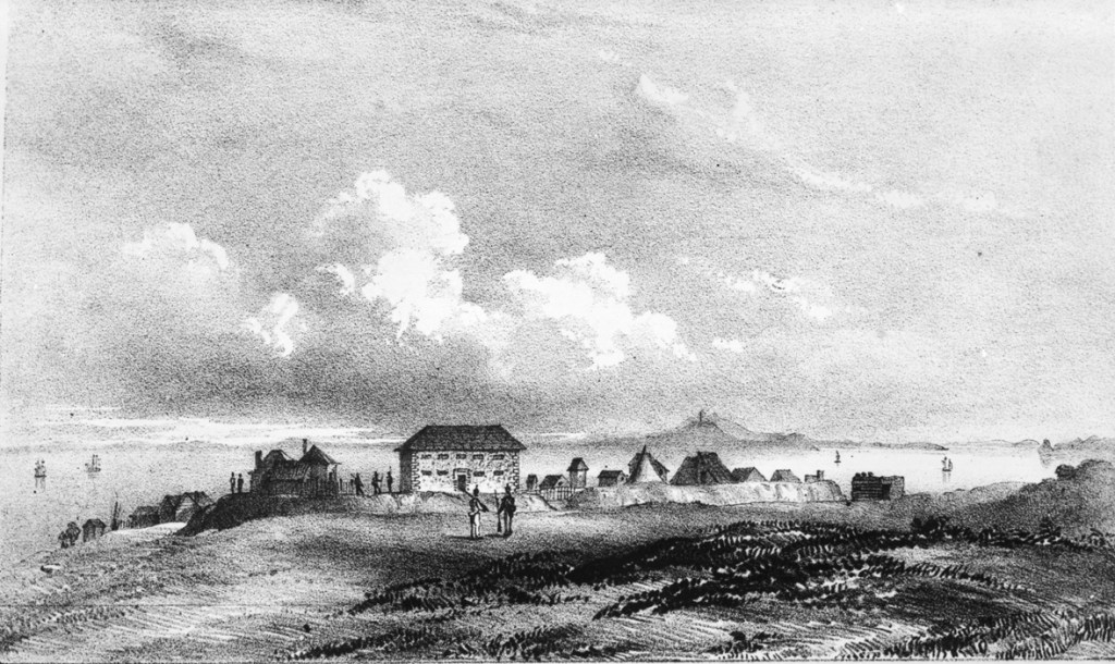
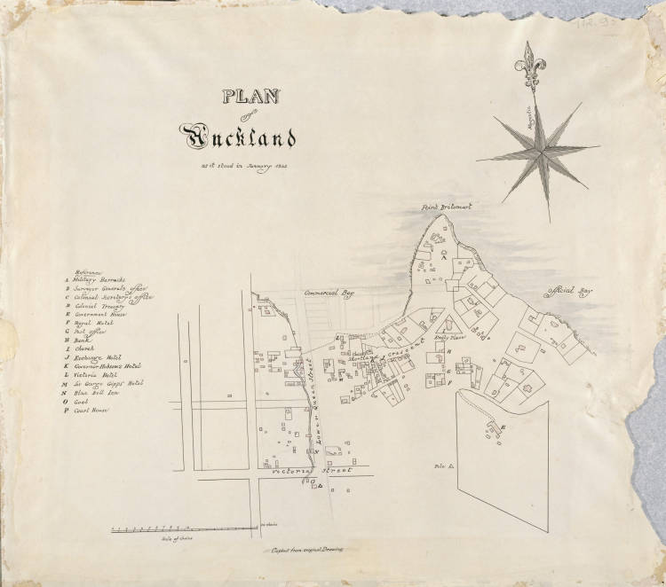
Right: Plan of Auckland (1842) Retrieved from: https://kura.aucklandlibraries.govt.nz/digital/collection/maps/id/439/rec/2
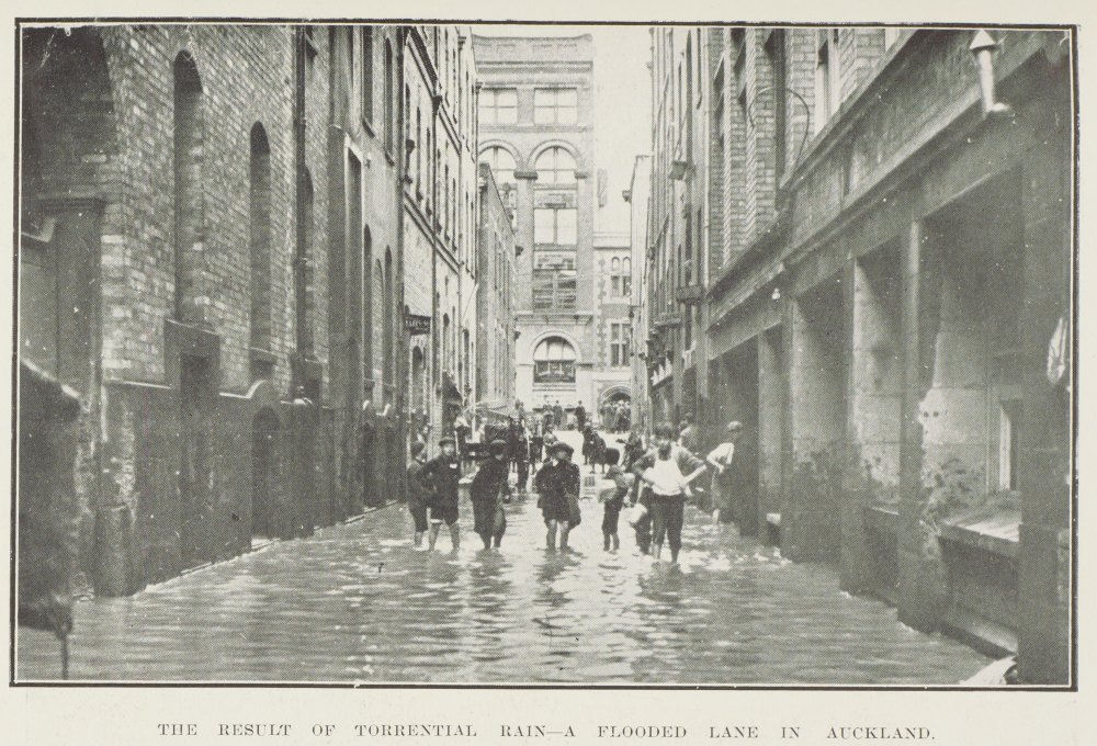
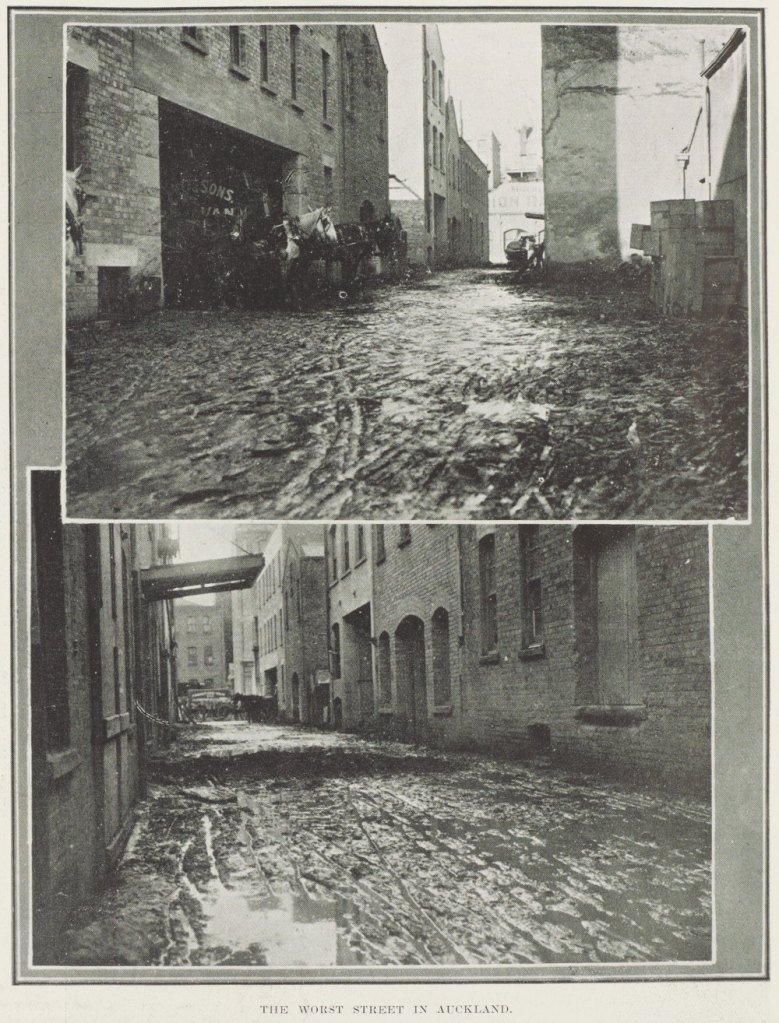
Top Right: Fort Lane flooding (1911) Retrieved from: https://digitalnz.org/records/43354047/the-result-of-torrential-raina-flooded-lane-in-auckland
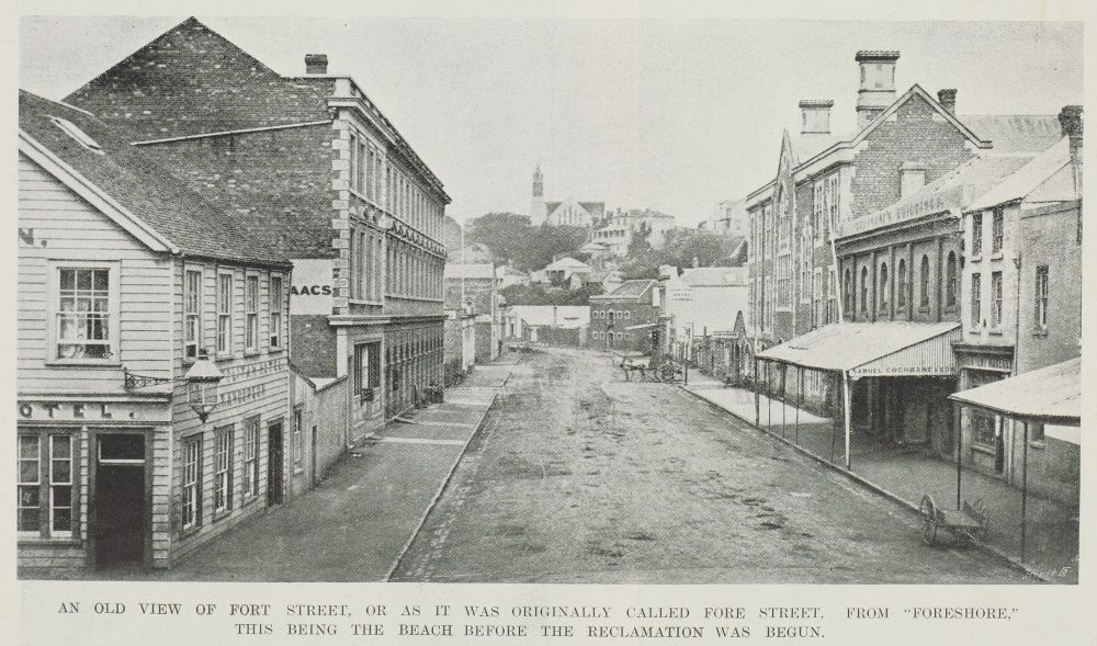
Bottom: Fort Lane, “The worst street in Auckland” (1911) Retrieved from: https://digitalnz.org/records/43354373/the-worst-street-in-auckland
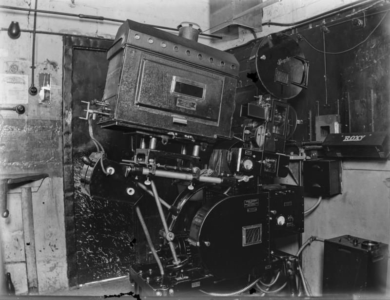

Top Right: Projection Room housing Simplex Projector with Powerlite reflector arc lamp. (1930) Retrieved from: https://collection.motat.nz/objects/89959/old-roxy-theatre
Bottom: Roxy Theatre milk bar. (1930) Retrieved from: https://www.aucklandmuseum.com/collection/object/am_library-photography-40725
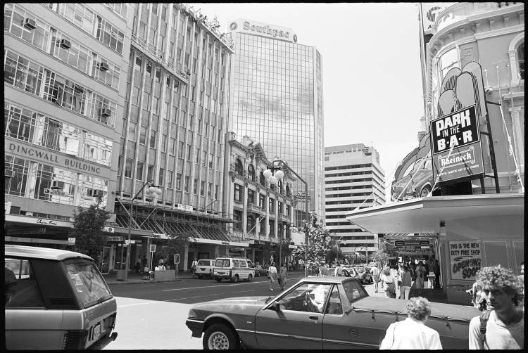
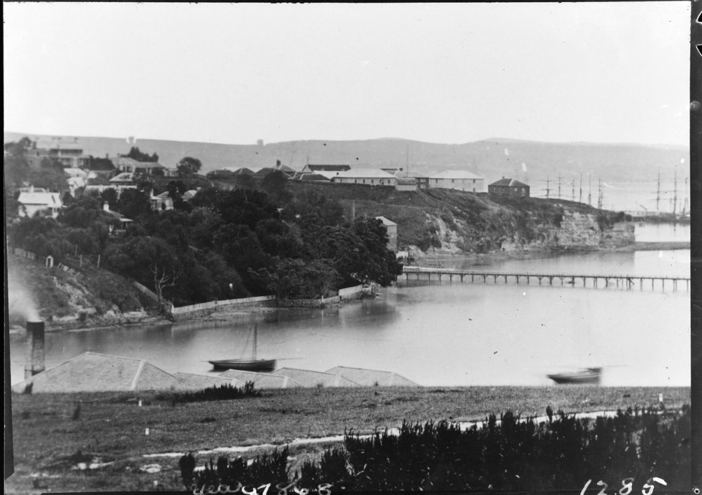
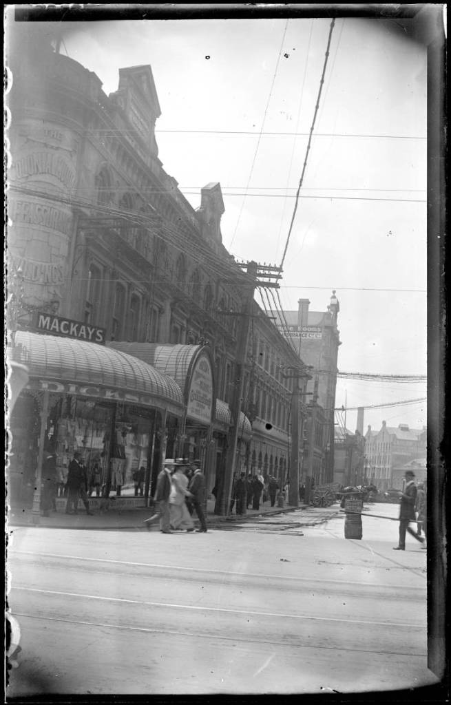
Right: Queen Street, Auckland (1989) Retrieved from: https://kura.aucklandlibraries.govt.nz/digital/collection/photos/id/96629/rec/37
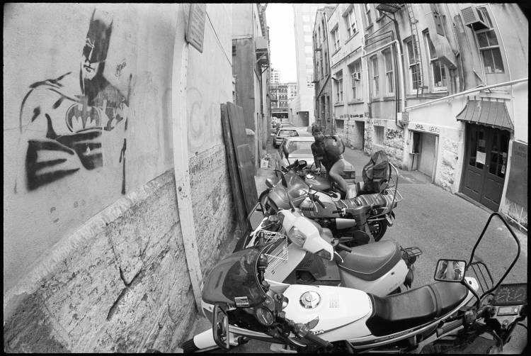
Middle: Fort Lane (1989) Retrieved from: https://kura.aucklandlibraries.govt.nz/digital/collection/photos/id/96163/rec/1
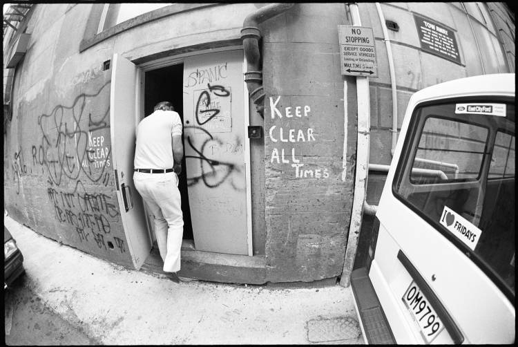
Right: Fort Lane (1989) Retrieved from: https://kura.aucklandlibraries.govt.nz/digital/collection/photos/id/96190/rec/7

Leave a comment